
Forecasters say the setup is primed for a long “snow wall” to sweep across the country, energised by Arctic air and a lively Atlantic front. Phones are buzzing, schools are watching, and gritters are on standby.
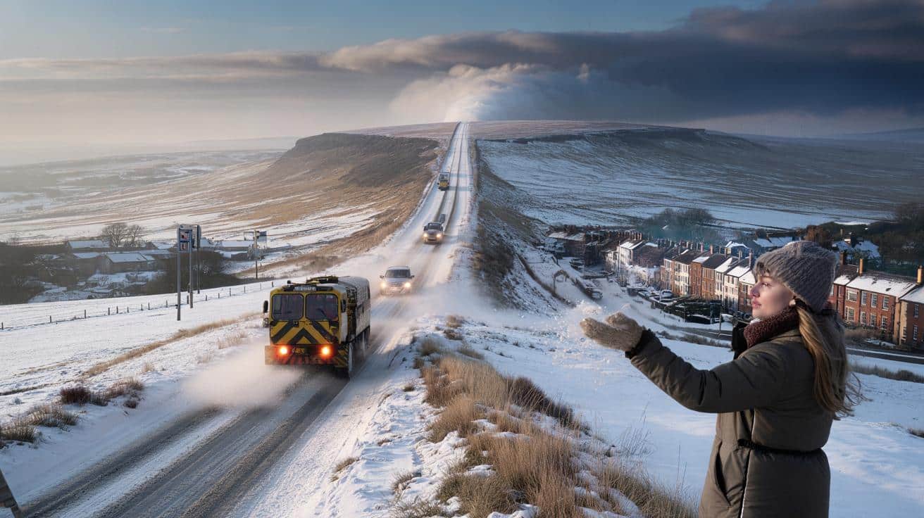
The first flakes always fall in a hush. You notice it at the window — the way light changes, the way people slow down without meaning to. In a terraced street in Leeds this morning, a woman paused mid-dog walk and held out a mitten, waiting for the next flake that never quite arrived. The cold was ready, though. That heavy, chalky kind of cold that sits low on the pavements and gets into your sleeves.
Across the UK, the mood is expectant. The Met Office has tightened its guidance, signalling a likely 24–36 hour window where a 400-mile band could lay down snow from Highland glens to the Home Counties. Trains are trimming their optimism. Rural delivery drivers are swapping routes in WhatsApp threads. One short question cuts through it all.
When?
What the Met Office is signalling — and why it matters
The official outlook points to a clash of airmasses that British winters know by heart: Arctic maritime air sinking south, and a moist Atlantic front pushing in from the west. Computer models have nudged towards a narrow arrival window, with the most impactful spell favoured around midweek. That’s when cold air will be most entrenched across Scotland and northern England, priming the ground for snow rather than sleet. Think of it as a conveyor belt, not a switch.
On the maps, the “snow wall” isn’t a literal wall. It’s a long, banded strip of precipitation turning wintry where it meets sub-zero surface air — potentially spanning roughly 400 miles from the Moray Firth to the Downs. In past winters, similar setups brought the M62 to a crawl and gave the A9 its notorious stop-start rhythm. Yorkshire Dales farms counted drifts higher than dry-stone walls, while London saw just a sugar-dusting that melted by lunch. The gradient can be brutal across 20 miles.
Why the hedging if the headline begs for an **exact date**? Meteorology is honest about uncertainty at the scale of a single commute. The Met Office can highlight a day and a risk zone with confidence, yet the hour a front tips rain to snow on your street still dances with small shifts in wind and temperature. The guidance now narrows to a firm midweek window and a broad UK sweep. The precise minute it finds your postcode will always be a moving target.
How to ride out a long, nation-spanning snow band
Start with timing and layers. If you commute, bring your plans forward on the favoured day, travel earlier, then give the front time to pass. Keep the kit simple: boots with grip, a small torch, phone power bank, high-visibility layer if you’re roadside. Drivers can top up screenwash rated for sub-zero, check tyre tread, and keep an old blanket in the boot. A thermos of tea changes the mood, and moods matter when traffic stalls.
Trains and buses tend to thin just when you need them. Download your operator’s app now and toggle alerts for routes you rely on. If you work from home, sort your hotspot and a backup charging cable tonight. Keep one shelf for tinned soup, bread, and long-life milk. Soyons honnêtes : personne ne fait vraiment ça tous les jours. We’ve all had that moment when the last decent loaf disappears and the trolley feels heavier than the weather outside.
Here’s the candid line from a senior forecaster that stuck with me:
“When cold air is locked in and a front arrives, it only takes a half-degree and an extra hour of night to flip slush to proper snow.”
- Key move: Plan around a midweek 24–36 hour window and keep journeys flexible.
- Common pitfall: Waiting for big flakes before changing plans. The first inch is often the sneakiest.
- Local tip: Follow your council gritter feed. They hint at where the worst icing is expected.
Where it could bite hardest — and where it might just glitter
Elevation is the quiet decider. Northern and eastern hills — the Highlands, Cairngorms, Pennines, North York Moors — are primed for lying snow and drifting in exposed spots. On lower ground north of the M62, the odds rise for several centimetres that last into the next day, especially overnight. South of the Midlands, it’s a knife-edge: early on it may start as cold rain, then tip to wet snow in the back half of the front, with quick slushy accumulations on grass and untreated streets.
Urban heat complicates things. City centres run a couple of degrees warmer, so pavements turn slick rather than white. Out toward ring roads and villages, surfaces cool and grip disappears faster. Rail lines that sit in cuttings or near open fields pick up drifting; that’s where signalling delays stack. If you picture the UK as a corridor, the “wall” could sweep it like a long curtain, snagging on high ground and billowing thin across the flats.
There’s also the second act. Behind the main band, wintry showers often rattle in on a brisk north-westerly, dotted and sharp, topping up accumulations where the ground has already cooled. That’s when black ice does its quiet work. Walkers feel it first on kerb ramps and cycle lanes shaded by trees. A brief sunny spell mid-morning will trick you into risk. *The cold keeps its promises longer than the light suggests.*
What the “snow wall” buzz gets right — and what it muddies
“Snow wall” is media shorthand. It captures the drama of a long band, yet it hides the messiness weather lives in. The Met Office hasn’t etched a single hour in stone, but its guidance has zeroed in on a day where that 400-mile sweep is most plausible, with disruption most likely in northern and eastern corridors. That matters for logistics, from school transport to supermarket deliveries, and for the thousands who keep Britain ticking when roads go quiet.
Forecasts are better than memory gives them credit for. They’ll tell you the day to watch and the parts of the map that will take the hit. Where they wobble is the exact line between slush and snow, the kind that shifts by a postcode as the front breathes. Plan with that humility in mind. A small detour in your routine — leaving earlier, layering warm, nudging a meeting online — turns a headline into nothing more than a different sort of day.
Let’s be honest: nobody really does that every day. But when the cold has settled, the night is long, and a front the length of the land is on approach, those modest adjustments land softly and pay back big. If you want the cleanest way through, set your expectations like a traveller at a small station: patient, watchful, ready to step aboard when the next train finally pulls in.
| Key point | Detail | Interest for the reader |
|---|---|---|
| Met Office window | Guidance focuses on a midweek 24–36 hour spell for a long wintry band | Helps plan travel and work around the most likely impact |
| 400-mile “snow wall” | A band from northern Scotland towards southern England, snow where cold air is deepest | Explains why some areas see disruptive snow while others get slush |
| Practical prep | Early travel, layered kit, transport alerts, simple home supplies | Reduces stress and keeps days running when conditions turn |
FAQ :
- When exactly will the 400-mile band arrive?The strongest signal is for a midweek arrival, concentrated within a 24–36 hour window. Expect local timings to vary by several hours.
- Which areas are most at risk of disruptive snow?High ground in Scotland and northern England, plus eastern corridors downwind of hills. Lower levels north of the Midlands have a better chance of settling snow.
- Will it stick in the South East?Possible on grass and untreated surfaces late in the band, especially overnight. City centres may stay slushy.
- Could schools and transport be affected?Yes, particularly on routes over higher ground and early morning services. Check local council updates and operator apps.
- How firm is the forecast?The day-level risk is solid, but exact street-level timing and snow depth depend on small temperature shifts. Updates on the day will sharpen the picture.


When exactly? Midweek is still a bit vague—are we talking late Wed or Thu morning for the South East?
Snow wall? So my commute turns into Game of Thrones again. I’ll pack a thermos, spare socks, and a very tiny imaginary sword 🙂